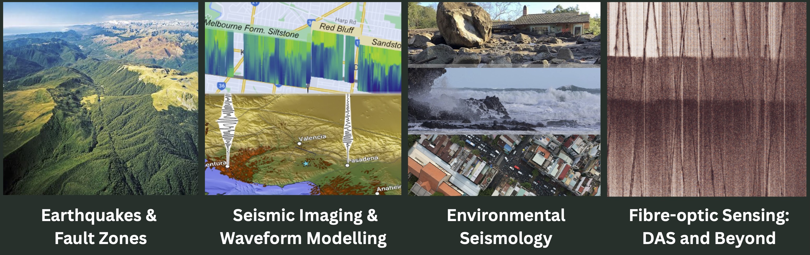
What can seismic wavefields reveal about the dynamic Earth?
From active fault zones and earthquake sources to volcanic eruptions and changing environments, we combine dense seismic observations with waveform modelling to uncover the structures and physical processes behind the seismic waves we record.
Current and emerging research focuses on earthquake monitoring and fault zone characterization, urban and coastal sensing, and offshore hazards, particularly around the Ring of Fire in Southeast Asia, with broader applications worldwide.
Research
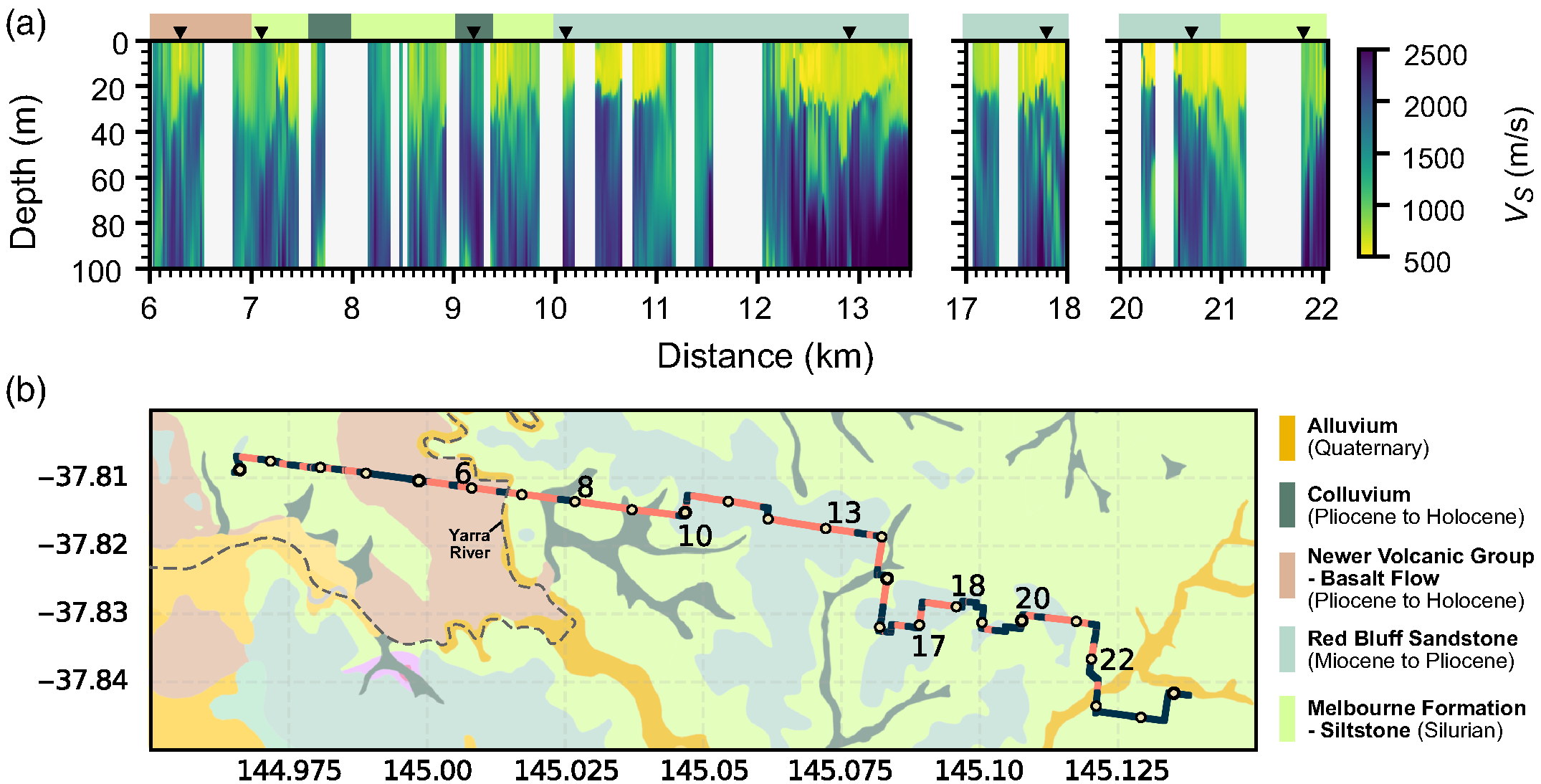
High-resolution subsurface imaging and modelling
Aim: To resolve subsurface structure at high spatial resolution, which is critical for characterizing features that span multiple length scales, such as fault zones and sedimentary basins, and for understanding how they influence seismic-wave propagation and earthquake ground motion.Approaches: Passive seismic imaging, seismic waveform modelling, numerical simulation
Studies (across a wide range of scales and depths):
▪ Meter-scale near-surface velocity model beneath urban areas for estimating ground motion
▪ Meter-scale architecture of the Alpine Fault zone
▪ Basin structure controlling prolonged ground shaking in Los Angeles
▪ Interactions between subducted slab and ultra-low velocity zone at the edge of the Pacific LLSVP
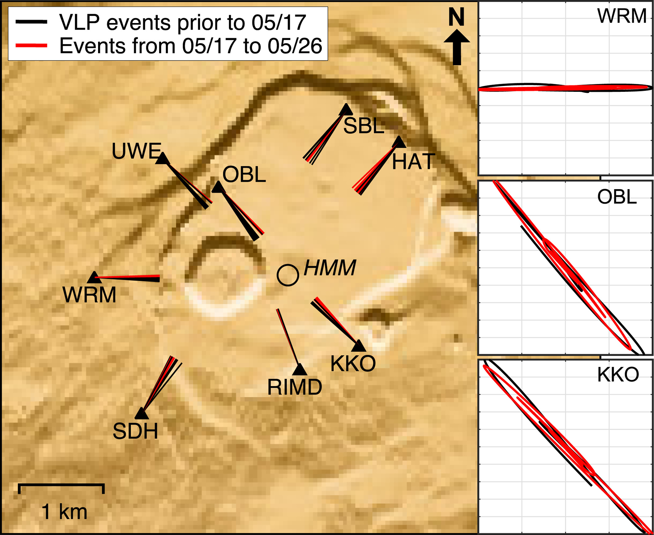
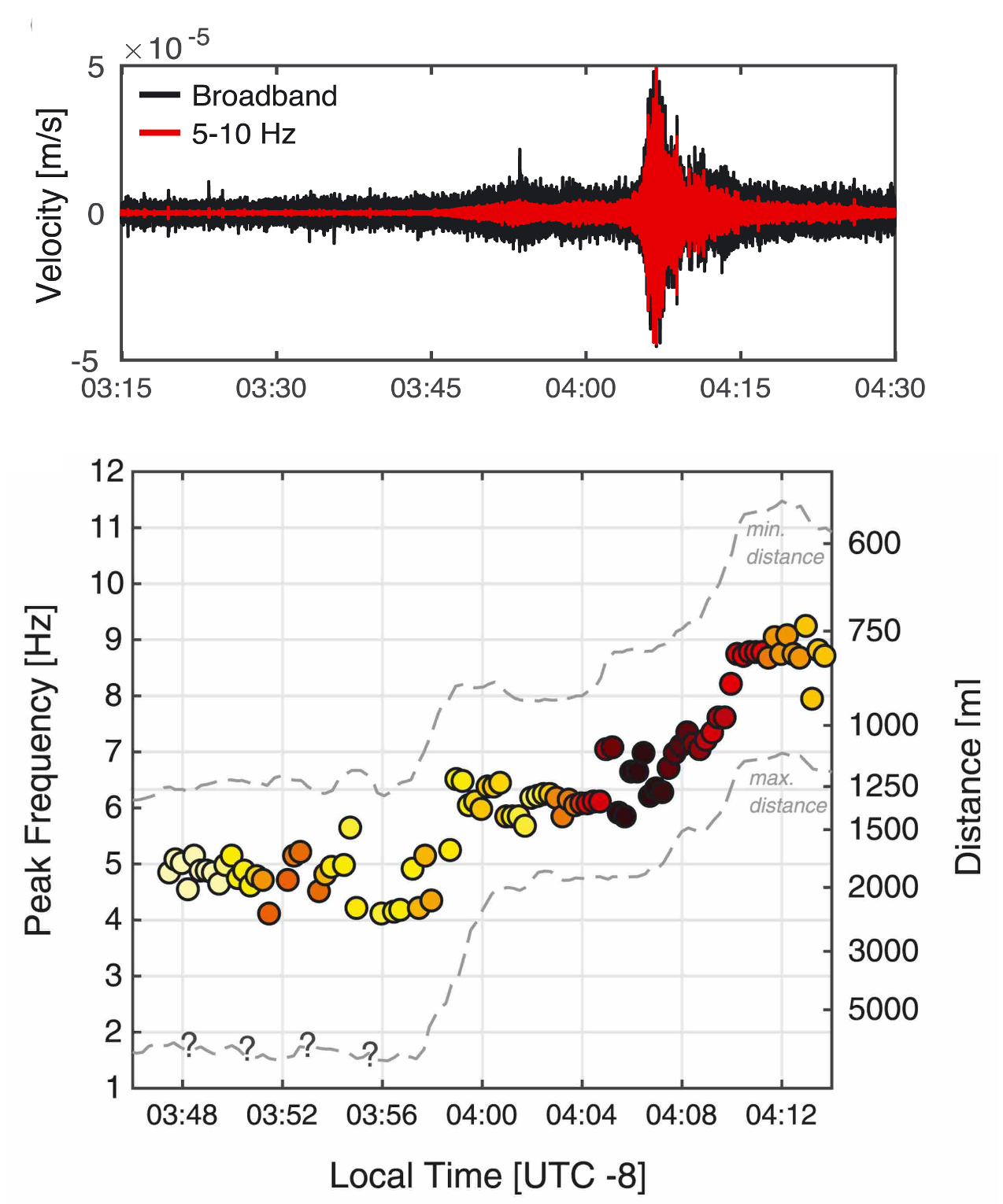
Earthquake and volcanic source characterization
Aim: To characterize earthquake and volcanic sources when trade-offs in solutions exist due to uncertainties in source location, complex source mechanism, poorly-known subsurface velocity structure, and sparase station coverage.Approaches: Moment tensor analysis, integration of multiple geophysical datasets, seismoacoustics
Studies
▪ Evolution of the 2018 Kīlauea caldera collapse
▪ Balloon-based infrasound detection of seismic activity, with applications to Venus
▪ induced seismicity at The Geysers geothermal field.
Environmental Seismology
Aim: To detect and characterize novel environmental processes which generates seismic waves but cannot be adequately modelled using conventional earthquake-source modelling approachApproaches: Physics-based waveform modelling, advanced signal processing, and dense observations using distributed acoustic sensing
Studies
▪ Development of the first physics-based seismic model of debris flow
▪ DAS characterization of coastal processes
▪ DAS detection and characterization of snow avalanches (led by K. Michailos)
Fibre optic sensing
Our group primarily uses distributed acoustic sensing which turns optical fibres into arrays of thousands of sensors, capturing seismic wavefields at unprecedented spatial resolution. The richness of DAS dataset is a blessing and a welcomed challenge.We develop the complete DAS research pathway -- from designing field deployments to signal processing, imaging, modelling, and open data sharing. Our deployments span cities, coastlines, and active fault zones, with now a focus in Southeast Asia.
Method development in:
▪ Deployment: Determination of cable-to-ground coupling.
▪ Analysis: DAS-based passive imaging, waveform modelling, signal separation
▪ Data management: DAS metadata standard
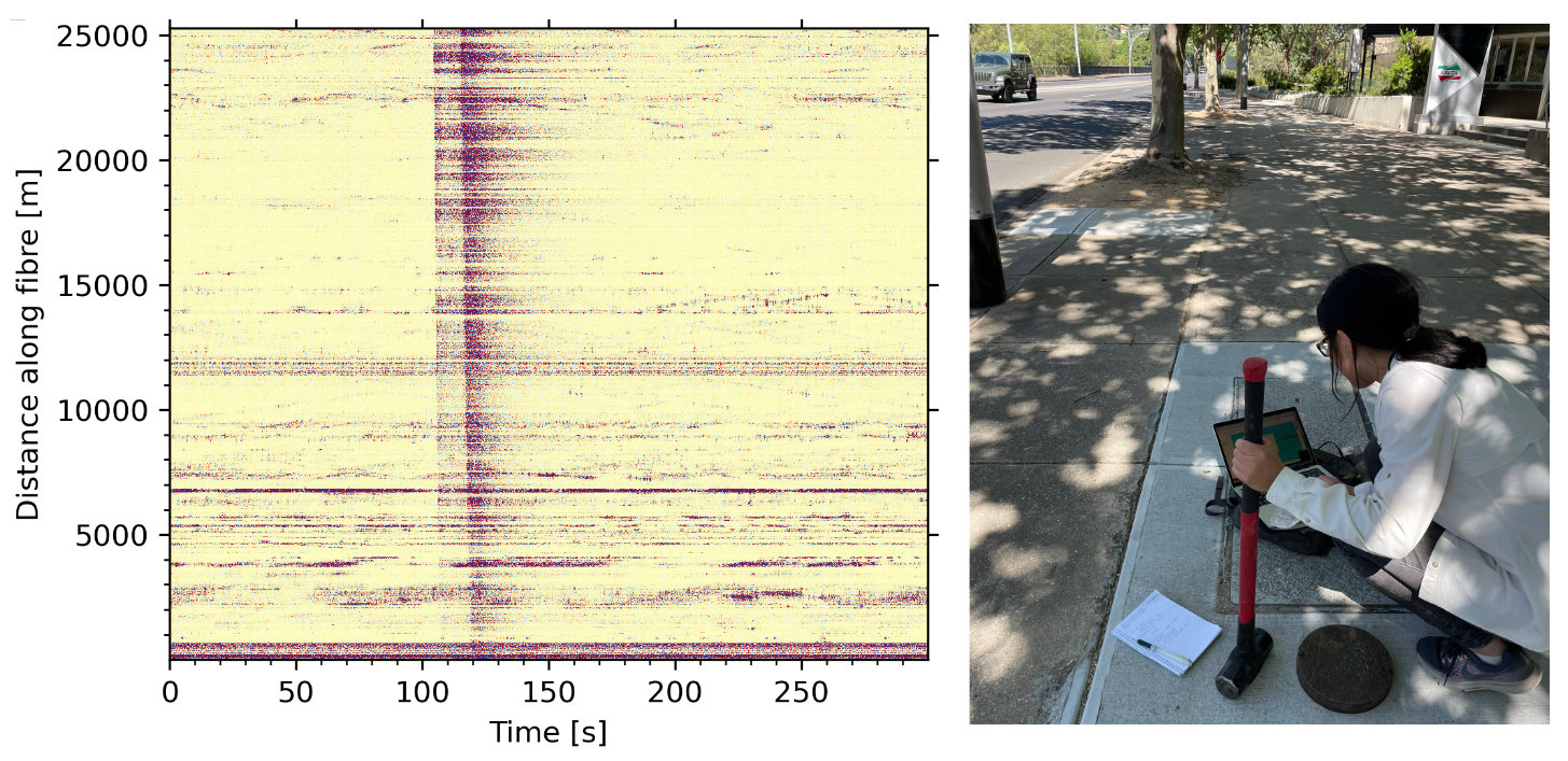
Left: Local earthquake and traffic noise recorded on DAS array in Melbourne;
Right: Performing tap test to geolocate the DAS array which works great for a gridded city like Melbourne
 DAS data collection described in the DAS metadata standard proposal